

Opening
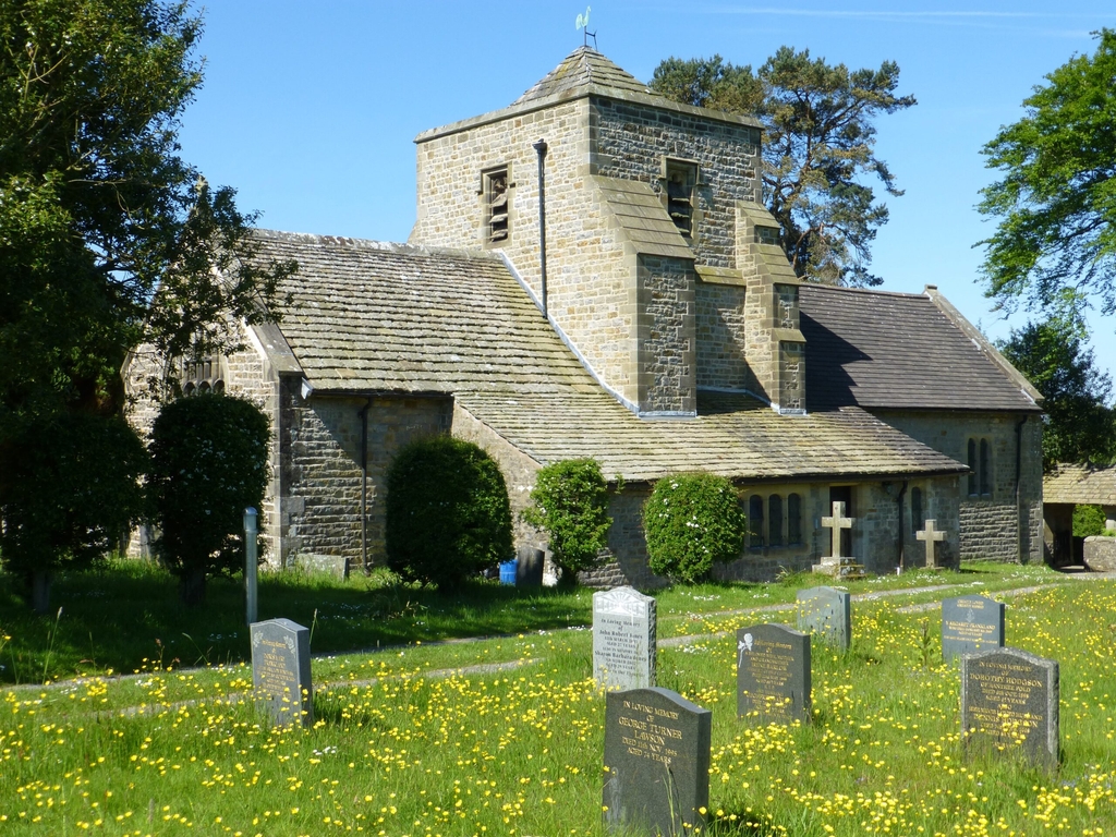
The Church remains open at all times for private prayer.
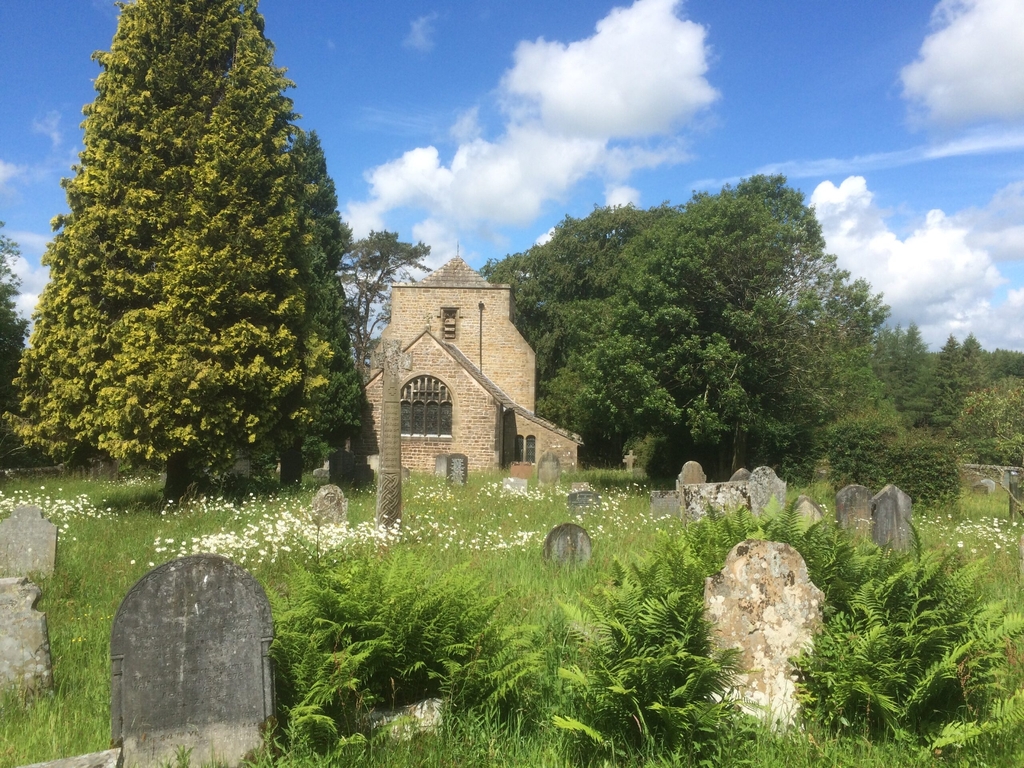
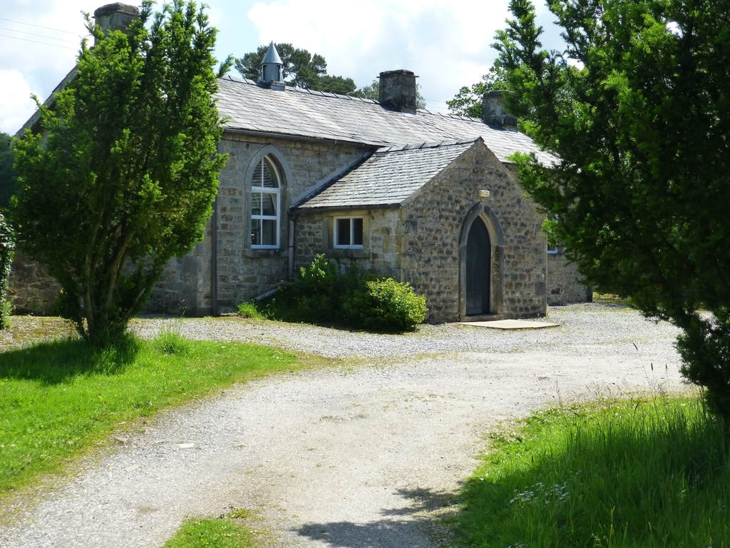
Getting here
If you are bringing a vehicle to the church, it is best to use the route indicated in green on the map included on the pdf on the "Directions to The Church of the Good Shepherd" page.
Use the postcode LA2 8PS; as you drive along the lane that this postcode takes you to, look out for a prominent road-sign (Church/Old School ½) and turn down the narrow lane opposite.
The route shown in red is also a public road, but because it is steep, narrow, and has a very sharp hairpin bend, it is impassable for larger vehicles, and difficult for smaller vehicles, whose drivers are advised not to attempt it for the first time without a reconnaissance on foot.
Pedestrians may approach by either route, or by one of the four pleasant footpaths which lead to the church, from Lowgill (south), Brackenbottom (south-east), Foss Bank (east) and Rantree Fold (north-east). These paths are more accurately shown on Ordnance Survey Explorer map 41.
2 miles south of Bentham
Lowgill
Lancaster
LA2 8PS
If you'd prefer to navigate using Google Maps please use the button below