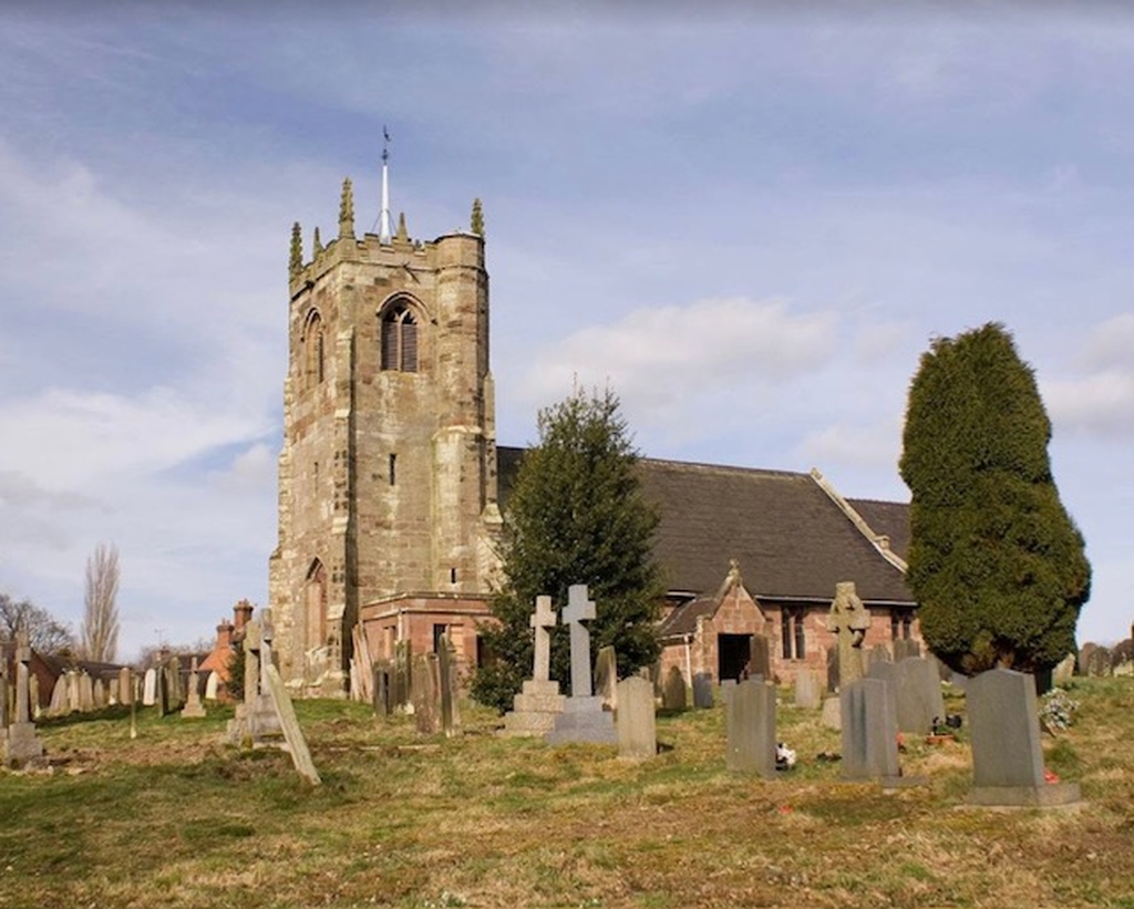
Churchyard Mapping - In accordance with Church of England ecclesiastical requirements for accurate churchyard mapping, All Saints is currently updating its records. Project Overview To support this work, we have engaged Mark Wilson, a member of the parish with knowledge of drone photography. Mark and his team have developed a software tool capable of holding grave details for the entire parish, with the potential to scale across Staffordshire and beyond. Key Features • Search by name, date of birth, or date of death • Combine Google Maps aerial imagery with high-resolution drone photography • Make it easier to locate individual graves accurately and efficiently We expect to host the tool online within the next few weeks so it can be accessed for demonstration purposes. At that stage, we can arrange an informal demonstration to discuss how the tool could be used more widely across the parish and, potentially, across the county. We look forward to Mark’s findings with interest and will provide further updates in due course
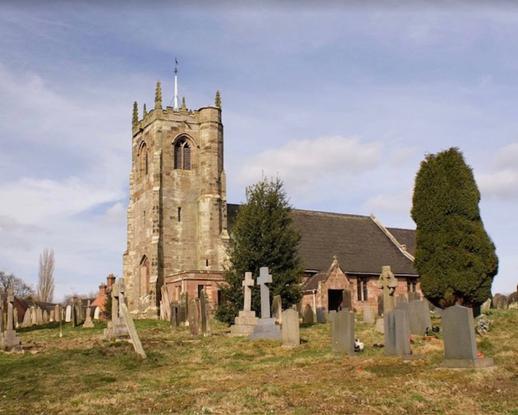
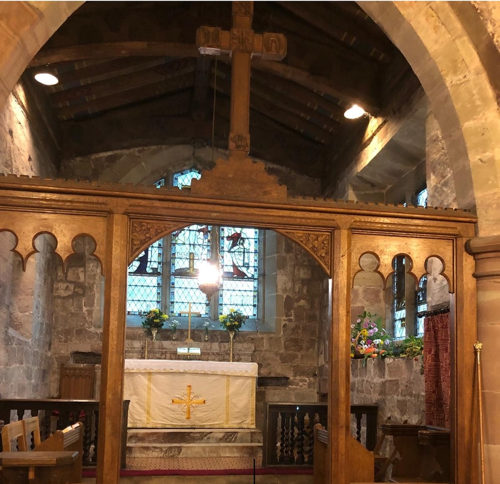
Chebsey All Saints

Sorry, we can't find any news for this church that match your search. Maybe Get in touch to find out more.