
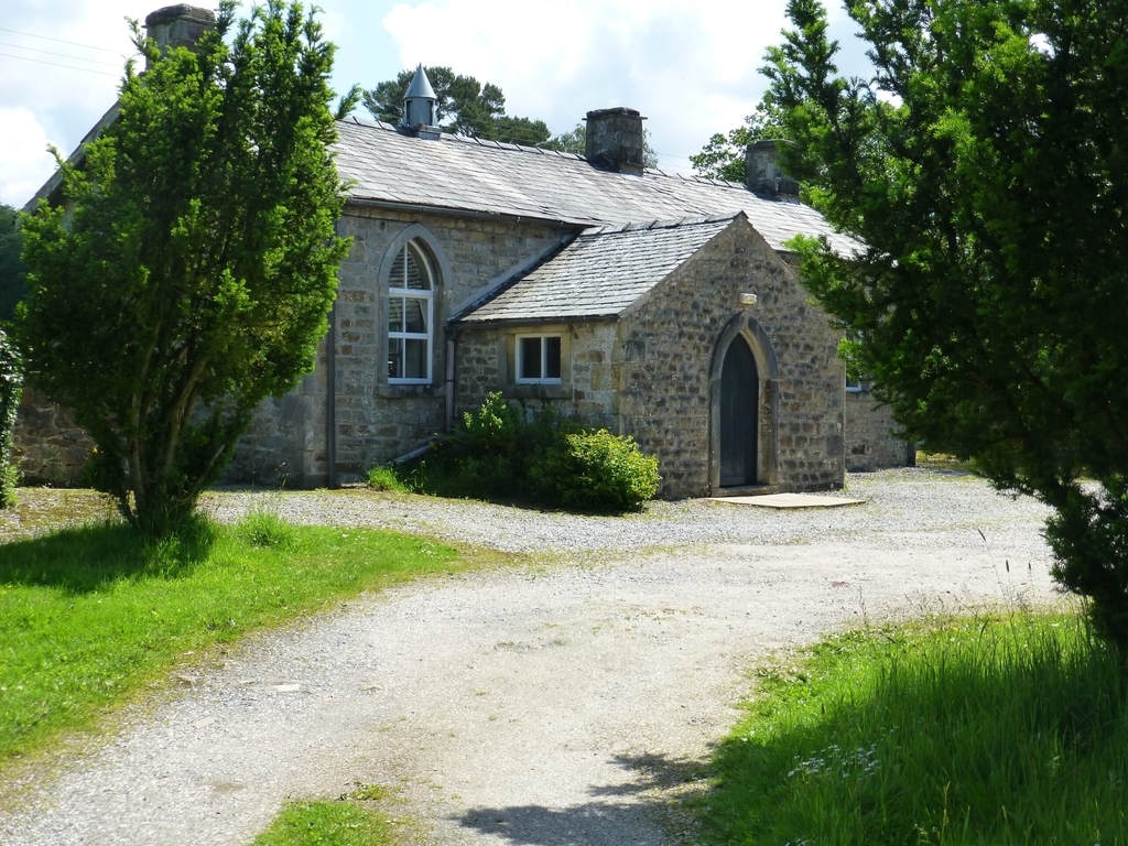
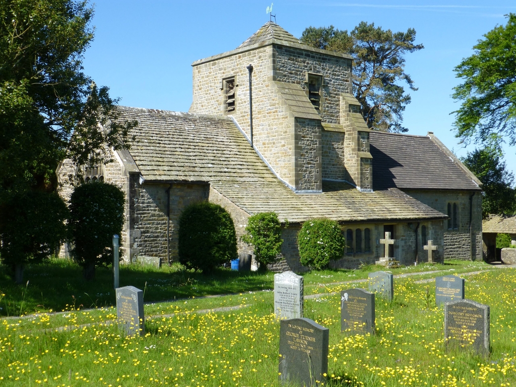
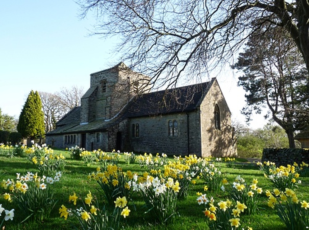

Directions to The Church of the Good Shepherd
This page includes a pdf showing directions to the Church from the East and the West.
If you are bringing a vehicle to the church, it is best to use the route indicated in green on the hand drawn map in the first pdf below (church-directions).
Use the postcode LA2 8PS; as you drive along the lane that this postcode takes you to, look out for a prominent road-sign (Church/Old School ½) and turn down the narrow lane opposite.
The route shown in red is also a public road, but because it is steep, narrow, and has a very sharp hairpin bend, it is impassable for larger vehicles, and difficult for smaller vehicles, whose drivers are advised not to attempt it for the first time without a reconnaissance on foot.
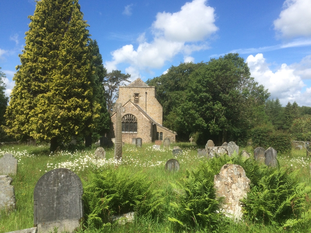
Pedestrians may approach by either route, or by one of the four pleasant footpaths which lead to the church, from Lowgill (south), Brackenbottom (south-east), Foss Bank (east) and Rantree Fold (north-east). These paths are more accurately shown on Ordnance Survey Explorer map 41.